




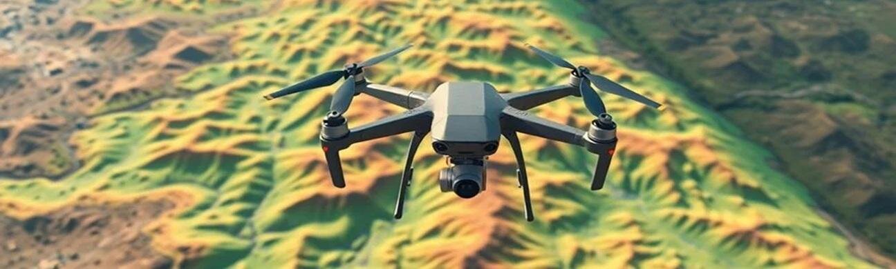

Drone mapping has become one of the fastest?growing and highest?paying sectors in the drone industry. As businesses across construction, agriculture, real estate, mining, and energy shift toward data?driven decision?making, the demand for accurate aerial maps and 3D models has skyrocketed. If you?ve been considering a career in drone mapping?or want to add mapping services to your existing drone business?this guide will walk you through everything you need to know.
This is a?comprehensive, SEO?optimized guide?covering certifications, equipment, software, workflows, accuracy standards, and real?world opportunities.
?
??What Is Drone Mapping? (Definition + Why It Matters)
Drone mapping is the process of capturing aerial images with a UAV and converting them into?geospatial data products?using photogrammetry or LiDAR. These outputs include:
Orthomosaic maps?(high?resolution, distortion?free top?down imagery)
3D point clouds
Digital Elevation Models (DEM, DSM, DTM)
Contour lines
Volumetric measurements?(stockpiles, cut/fill)
Vegetation indexes?(NDVI, GNDVI, VARI)
3D textured models?for planning and visualization
Drone mapping replaces expensive helicopter flights, manual surveying, and slow ground?based measurements. It delivers?faster, safer, and more accurate?data at a fraction of the cost.
?
???Why Drone Mapping Is a High?Value Career Path
Drone mapping is one of the most profitable drone services because:
Businesses already understand the value of aerial data
Mapping requires specialized skills (less competition)
Deliverables directly impact budgets, timelines, and safety
Many industries require recurring mapping (weekly, monthly, quarterly)
Average drone mapping project value:?$500?$3,500 per job depending on size, accuracy, and deliverables.
Top industries hiring drone mappers:
Industry | Why They Need Drone Mapping |
|---|---|
Construction | Progress tracking, earthwork volumes, site planning |
Agriculture | Crop health, plant stress, irrigation analysis |
Mining & Aggregates | Stockpile volumes, pit mapping, safety |
Real Estate Development | Land planning, 3D models, marketing |
Utilities & Energy | Inspections, corridor mapping |
Insurance & Roofing | Damage assessment, measurements |
?
If you want a drone career with?consistent demand, mapping is the sweet spot.
?
????Step 1: Get Legally Certified (Part 107 in the U.S.)
To fly drones commercially in the United States, you must have an?FAA Part 107 Remote Pilot Certificate.
You?ll need to understand:
Airspace classifications
Weather (METARs, TAFs)
Drone regulations
Emergency procedures
Crew resource management
Radio communications
Once certified, you can legally perform mapping missions for clients.
?
????Step 2: Choose the Right Drone for Mapping
Not all drones are suitable for mapping. You need a drone with:
20MP+ camera
Mechanical shutter?(prevents rolling?shutter distortion)
Long flight time
RTK or PPK positioning?for survey?grade accuracy
Automated flight mission capability
Best Drones for Mapping in 2026
Drone | Best For | Notes |
|---|---|---|
DJI Mavic 3 Enterprise (M3E) | Most users | Compact, RTK, 20MP mechanical shutter |
DJI Phantom 4 RTK | Surveying | Legendary accuracy, still widely used |
DJI Matrice 350 RTK | Enterprise | Supports LiDAR, multispectral, thermal |
Autel EVO II Pro RTK | DJI alternative | Strong camera, good accuracy |
?
If you?re starting out, the?Mavic 3 Enterprise?offers the best balance of price, portability, and accuracy.
?
????Step 3: Learn Drone Mapping Software (Flight + Processing)
Drone mapping requires two types of software:
1. Flight Planning Software
Used to automate grid missions with proper overlap.
DJI Pilot 2
DroneDeploy Flight
Pix4D Capture
Litchi Mission Hub
2. Photogrammetry Processing Software
Used to convert images into maps and 3D models.
Pix4D Mapper?? Survey?grade accuracy
DroneDeploy?? Easiest for beginners
Agisoft Metashape?? Extremely powerful
WebODM?? Free and open source
Learning how to process data is just as important as learning how to fly.
?
???Step 4: Master the Drone Mapping Workflow
A professional drone mapper follows a consistent, repeatable workflow.
1. Pre?Planning
Check airspace
Review weather
Plan flight altitude
Set front/side overlap (70?80%)
Identify obstacles
Plan ground control points (GCPs) if needed
2. Flight Execution
Fly automated grid missions
Maintain consistent altitude
Use RTK for high accuracy
Capture nadir and oblique images if needed
3. Data Processing
Import images
Align photos
Generate point cloud
Create orthomosaic
Build DEM/DSM
Clean and classify data
4. Deliverables
Depending on the client, you may deliver:
Orthomosaic TIFF
Contour lines
3D point cloud (LAS/LAZ)
DSM/DTM
Volume reports
Crop health maps
3D textured models
?
???Step 5: Understand Accuracy, GSD, RTK, and GCPs
This is where drone mapping becomes a real technical skill.
Key Concepts Every Drone Mapper Must Know
GSD (Ground Sampling Distance)?? Determines map resolution
RTK vs PPK?? Real?time vs post?processed accuracy
GCPs (Ground Control Points)?? Used for survey?grade accuracy
Overlap?? Ensures proper photogrammetry reconstruction
Coordinate systems?? EPSG codes, local grids, state plane
Accuracy reports?? RMSE, reprojection error, checkpoints
The more you understand these, the more you can charge.
?
???Step 6: Build a Portfolio and Start Getting Clients
Drone mapping clients want to see?proof of accuracy and quality.
What to Include in Your Portfolio
Sample orthomosaics
3D models
Volume reports
Before/after progress maps
NDVI crop maps
Accuracy reports
How to Stand Out
Offer fast turnaround
Provide clean, professional reports
Demonstrate accuracy with checkpoints
Use RTK or GCPs
Build a clean, modern website
?
???The Future of Drone Mapping (2026?2030)
Drone mapping is evolving rapidly. Expect to see:
AI?powered automated analysis
Real?time mapping directly from the drone
Swarm mapping missions
Higher?accuracy sensors
Digital twins integrated with BIM
Cloud?based processing with instant results
If you start now, you?re entering the industry at the perfect time.
-
- 2,728 views
- 0 comments